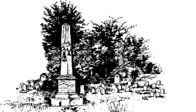
"They Sleep Beneath the Mockingbird",
A Listing of Cemeteries of
Our Confederate Dead
by County
Benton      

Information obtained from Online sources
and MS Grave Registry Microfilms

   Cemetery Name                 GPS Location or Section               Location                   

    Ashland (aka Little Hope)                   345014; 891024                                Ashland
    Ayers                                                        344537; 891221                               5.4 mi SSW of Ashland
    Bagby                                                                                                                    near Canaan
    Beck                                                                                                                      3 mi SW of Ashland
    Bethel                                                       344316; 890810                               14 mi SE of Ashland
    Bethlehem                                              345209; 890834                                3 mi NE of Ashland
    Black Jack                                               345248; 890500                               5 mi NE of Ashland
    Bogard                                                      344815; 891448                               1 mi SW of Snow Lake Shores
    Canaan                                                    245556; 890744                                Canaan
    Duncan Family (aka Blue Mountain)  344350; 890626                             4.25 mi NE of Pine Grove
    Gov. Matthews Family                          345031; 891537                             2.5 mi NW of Snow Lake Shores
    Hickory Flat  (S26-T5-R1E)                  343731; 891016 ?                           1 mi NE of Hickory Flat
    Hinton-Edwards                                                                                                 1.25 mi NW of Hintonville
    Hopewell                                                  345745; 890316                               0.5 mi SW of Hopewell
    Hopkins                                            344916; 890208                               8 mi E of Ashland
    Flat Rock                                                 343923; 890551                               4 mi WSW of Blue Mountain
    Friendship                                               344927; 890640                               4 mi E of Ashland
    Liberty                                                      344717; 891356                               5 mi SW of Ashland
    Macedonia                                                                                                           near Hickory Flat
    McKay                                                      343721; 891127                               0.5 mi NW of Hickory Flat
    Mt. Pleasant                                            345619; 890205                               3 mi SE of Brady
    Mt. Zion (aka Mt. Zion East)               345147; 890408                               6 mi ENE of Ashland
    Mt. Zion CME                                         344758; 891625                               6.67 mi SW of Ashland
    Mt. Zion West                                         344845; 891656                               6 mi WSW of Ashland
    New Hope                                               345132; 890532                               5 mi ENE of Ashland
    Old Culp                                                                                                               Ashland
    Old Harmony                                          344432; 891730                               9 mi ESE of Holly Springs
    Old Hickory Flat                                     343731; 891007                               1.75 mi NE of Hickory Flat
    Pine Grove                                              344223; 891030                               Pine Grove
    Pisgah                                                      343737; 891317                               2.5 mi E of Winborn
    Pleasant Hill                                            344704; 890928                               5 mi S of Ashland
    Selph-Collins                                                                                                      6.75 mi N of Hickory Flat
    Shelby Creek                                          344616; 890516                              7 mi SE of Ashland
    Valley Grove                                           345815; 891543                               1 mi SW of Michigan City
    Woodson (aka Bogard Family)                                                                       3 mi E of Michigan City
    Wynn Family                                           S1-T2-R1W                                      2.5 mi W of Spring Hill
   
                                                                                                                              Index