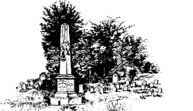
"They Sleep Beneath the Mockingbird",
A Listing of Cemeteries of
Our Confederate Dead
by County
Copiah      

Information obtained from Online sources
and MS Grave Registry Microfilms

   Cemetery Name                 GPS Location or Section               Location                   

    Alford Family                                   315709; 902230                               Gallman
    Antioch (Hazlehurst)                     314957; 902402                               2 mi S of Hazlehurst
    Antioch (Smyrna)                          314748; 903424                               5 mi WSW of Glancy
    Ashley                                              314806; 901542                               5.5 mi NE of Sand Hill
    Baker                                                                                                             near Hazlehurst
    Beauregard                                      314332; 902301                               0.25 mi NNW of Beauregard
    Bethel                                                S26-T10N-R8E                                4 mi SSE of Hazlehurst  
    Bethel                                                315625; 903815                              15 mi NW of Hazlehurst
    Bethel                                                315631; 903812                              15.5 mi NW of Hazlehurst
    Bethel Baptist                                  315131; 901610                              7.33 mi E of Hazlehurst
    Bethesda                                          315410; 902008                               3 mi E of Gallman
    Blue                                                                                                               SW corner of the County, midway
                                                                                                                            between Pleasant Hill & Caseyville
    Carpenter                                         320242; 904058                               Carpenter
    Catching, Philip                                                                                           In County
    Center Ridge                                                                                               near Crystal Springs
    Coor Springs                                                                                               6 mi SE of Crystal Springs
    County Line                                     320211; 902005                              3.5 mi NNE of Crystal Springs
    Damascus                                        315253; 902408                              1 mi N of Hazlehurst
    Damascus Baptist                          315254; 902408                              1.5 mi NW of Hazlehurst
    Dromgoole                                       314757; 904341                              5 mi SW of Barlow
    Ferguson Family                                                                                        1 mi S of Allen
    Franklin Chapel                              314442; 902134                               2.25 mi NE of Beauregard
    Gallman                                            315600; 902329                               Gallman
    Green, Bennie                                 315907; 903533                               1.9 mi NNE of Willing
    Harmony Baptist                            315559; 901647                               6 mi SE of Crystal Springs
    Hazlehurst                                       315108; 902358                               Hazlehurst
    Hill                                                      320011; 903935                              3 mi S of Carpenter
    Hopewell (aka Old Rudy)             315649; 901354                               1 mi W of Hopewell
    Lowe's Wells (Lowe?)                  314534; 900840                               2.5 mi N of Oma
    Martinsville                                                                                                  near Martinsville
    Mount Hope                                    315246; 903434                               12 mi W of Hazlehurst
    Mullens (Mullin?)                           314812; 901933                               4 mi E of Allen
    Old Providence                               S26-T9N-R5E                                   3.5 mi E of Pleasant Hill
    Old Sweet Water                             S25-T9N-R5E                                  4.5 mi E of Pleasant Hill
    Parks Baptist Church                                                                                near Carpenter
    Peets                                                 314241; 903323                               10 mi W of Beauregard
    Pine Bluff                                         315715; 903308                                1.5 mi E of Dentville
    Pisgah                                               315859; 902713                               6 mi W of Crystal Springs
    Pleasant Hill                                    315523; 903538                               Pleasant Hill
    Poplar Springs                                315802; 901954                               2 mi SE of Crystal Springs
    Rehobeth-Barlow                          314923; 903912                               Barlow
    Sardis                                               314653; 901827                               Stronghope
    Stronghope                                     314434; 901547                               1 mi SE of Ashley or Stronghope
    White Oak                                        320152; 903906                               6 mi SW of Utica
    Zion Hill Baptist (aka Sand Hill) 314438; 901944                                1.5 mi NW of Sand Hill

                                                                                   Index