"They Sleep Beneath the Mockingbird",
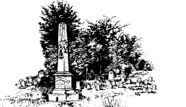
A Listing of Cemeteries of
Our Confederate Dead
by County
Pontotoc      

Information obtained from Online sources
and MS Grave Registry Microfilms

   Cemetery Name                 GPS Location or Section               Location                   

    Betts                                                  S23-T11-R4                                      2 mi SE of Troy
    Black Zion                                        S6-T10-R4                                        4.75 mi E of Pontotoc
    Burks                                                 S6-T9-R3                                          2 mi S of Ecru
    Calloway                                                                                                      SE Pontotoc County
    Campground                                   341102; 885901                               2.5 mi ENE of Algoma
    Cherry Creek                                  342102; 890059                               0.5 mi E of Ecru
    Chesterville                                                                                                 10.5 mi ENE of Pontotoc
    Cooke                                               340536; 890652                               8 mi SW of Algoma
    Ebenezer                                          341235; 885715                               4 mi SE of Pontotoc
    Edington                                           340749; 885458                              10 mi SE of Pontotoc
    Falkner                                              340612; 885301                              10 mi SE of Algoma
    Gershorm                                         S33-T11-R3                                      1.5 mi E of Gershorm
    Glasgow                                                                                                       4 mi SW of Randolph
    Guinn                                                341449; 891000                               4 mi E of Toccopola
    Herndon                                           341000; 891059                               1.5 mi SW of Randolph
    Hickory Grove                                 341908; 885138                               3 mi SSW of Cherman
    Hopewell                                                                                                      near Pontotoc
    Jernigan                                            S14-T10-R2                                     3.5 mi E of Algoma
    Locust Hill                                        S26-T8-R4                                        West of Sherman
    Longview                                                                                                     7.5 mi NE of Pontotoc
    Macedonia                                       340750; 890342                               3.25 mi SW of Algoma
    Monroe Mission                             S32-T10-R3                                      1.5 mi SE of Algoma
    New Hope                                        S1-T1-R3E                                        3.5 mi E of Pontotoc
    New Salem                                      S32-T11-R4E                                    2.5 mi SSW of Troy
    Oak Forest                                       341137; 890840                               6 mi WNW of Algoma
    Oak Hill                                             341916; 885653                               6 mi NE of Pontotoc
    Old Bethel                                         S32-T10-R4E                                   7.25 mi E of Algoma
    Old Harmony                                   341907; 885853                               3 mi SE of Ecru
    Old Monroe                                     340942; 890043                                1.5 mi SE of Algoma
    Old Poplar                                                                                                    near Pontotoc
    Old Poplar Springs                         S28-T8-R4                                        2.5 mi W of Sherman
    Pleasant Grove                               341002; 885600                              7 mi SE of Pontotoc
    Pontacola                                         340912; 885034                              4 mi NE of Troy
    Pontotoc Memorial or Pontotoc  341837; 885753                             5 mi NE of Pontotoc
    Redland                                            340531; 885846                               1.25 mi NE of Redland
    Robbs                                               340515; 891309                               0.25 mi SSW of Matthews
    Salmon                                             341101; 891137                               6 mi SE of Toccopola
    Sand Springs                                  342110; 890920                               0.5 mi SE of Esperanza
    Shady Grove                                   342227; 890620                               0.4 mi NE of Rocky Ford
    Sherman                                          342148; 884957                               0.75 mi NE of Sherman
    Spring Hill                                        341557; 885443                               6 mi ENE of Pontotoc
    Springville                                        S9-T10-R17                                      0.5 mi NW of Springville
    Thaxton                                            341830; 891031                               Thaxton
    Toccopola                                        341532; 891405                               0.1 mi ENE of Toccopola
    Tutor (aka Noah Tuter)                 340924; 891105                              2.25 mi W of Randolph
    Union                                                342231; 891343                               6 mi NW of Thaxton
    Ware                                                  340735; 885742                               5.5 mi SE of Algoma
    White Zion                                       S1-T9-R4                                           2 mi E of Furrs
    Williams                                            340517; 890002                               3.5 mi ESE of Buckhorn
    Woodland                                         340839; 885339                              1 mi S of Woodland
                                                               
   
                                                                                                                              Index