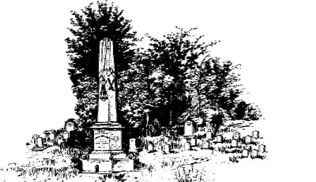
"They Sleep Beneath the Mockingbird",
A Listing of Cemeteries of
Our Confederate Dead
by County
Rankin      

Information obtained from Online sources
and MS Grave Registry Microfilms

   Cemetery Name                 GPS Location or Section               Location                   

    Andrew Chapel                               321928; 895540                              6 mi NE of Brandon
    Antioch Baptist                               321040; 894653                               5 mi WSW of Polkville
    Brier Hill                                            321048' 900527                               1 mi SW of Monterey
    Brandon                                           321652; 895940                               Brandon
    Cato                                                   320522; 895240                               0.25 mi SE of Cato
    Clark Family                                    S36-T3N-R2E                                   4 mi ESE of Comeby
    Clear Branch                                   320429; 901133                               6.5 mi SW of Florence
    Concord                                           321314; 894421                               3 mi SE of Cross Roads
    Concord                                           S25-T7-R3                                         0.75 mi NE of Fannin
    County Line                                    320314; 894837                               3 mi SW of Puckett
    Curran (aka Curan Family)          S17-T5-R2                                        In Pearl
    Drakes (aka Drakes Chapel;       321943; 900539                               3.1 mi NE of Flowood
        aka Drakes UMC)
    Dry Creek                                        320923; 900050                               0.5 mi E of Thomasville
    Fannin                                              322451; 895705                               0.4 mi SE of Fannin
    Fannin Baptist                                322455; 895733                               0.5 mi SW of Fannin
    Fannin Methodist                          322520; 895707                               0.5 mi NE of Fannin
    Greenfield Church                         321400; 900151                               3.75 mi SW of Brandon
    Gulde (aka New Prospect)          321818; 895138                               0.5 mi NNE of Gulde
    Hebron (aka Hebron Hill)            321336; 895636                               5 mi SE of Brandon
    Hollybush                                        322416; 884929                               6.5 mi NNW of Pelahatchie
    Johns                                               320806; 895050                               10 mi NW of Johns
    Keel                                                   S11-T6N-R5E                                   5.5 mi NE of Pelahatchie
    Lewis                                                322242; 900154                               6 mi NE of Flowood
    Lodebar                                            321651; 894657                               3 mi SSE of Pelhatchie
    Mays                                                 320923; 895636                               11 mi E of Florence
    Mayton                                             S14-T3-R5                                         0.5 mi W of Mayton
    McLaurin                                          322414; 895417                               9 mi NW of Pelahatchie
    Mountain Creek                             320517; 900752                               5 mi S of Florence
    Mt. Carmel                                       321632; 895421                               5.5 mi E of Brandon
    Mt. Creek                                          S19-T3N-R2E                                  5 mi S of Florence
    Mt. Sinai                                            S10-T3-R1E                                     Sinai
    Mt. Sivor                                                                                                       near Byrum
    Oakdale                                            322056; 895855                               5 mi NNW of Brandon
    Old Pisgah                                       S27-T8N-R4E                                   3.5 mi NE of Goshen Springs
    Palestine                                                                                                      near Raymond
    Pearson                                           321502; 900748                               0.5 mi NW of Pearson
    Pelahatchie                                     321902; 894754                               North Pelahatchie  
    Pisgah                                              323034; 895232                               0.25 mi NE of Pisgah
    Plain (aka Richland)                      321213; 900907                               South Richland
    Poplar Springs                                320313; 901115                              7 mi SW of Florence
    Prospect                                           320926; 894355                              3.5 mi SW of Polkville
    Puckett                                             320502; 894634                               0.2 mi N of Puckett
    Ratliff Family                                   S5-T8N-R5E                                     near Ratliff
    Ragan or Regan or Reagan         321957; 894830                              Northwest Pelahatchie
    Raymond                                         321515; 902534                               West Raymond
    Rehobeth                                         322525; 894850                              8 mi N of Pelahatchie
    Ross                                                  320558; 895353                              7 mi WNW of Puckett     
    Russel                                              322016; 900312                               Northeast Flowood          
    Shiloh                                               321410; 895002                               6 mi SSW of Pelahatchie
    Smith                                                320839; 901220                               3.5 mi W of Florence
    Spring Hill                                        322241; 894647                               5 mi NNE of Pelahatchie
    Steens Creek (aka Florence)      320859; 900755                               0.3 mi SSW of Florence
    Strong River                                                                                                near White Oak
    Thomas                                            S1-T4N-R1E                                     near Richland
    Union Baptist                                  320624; 894503                               0.2 mi W of Mayton
    Union Church                                 322153; 900104                               3.75 mi NE of Luckney
    Wesleyanna                                    320613; 900421                               4.5 mi NW of Star
    Williamson Family                         S5-T4N-R3E                                     4.5 mi SW of Brandon
    Zion Hill                                            320312; 895543                               3 mi NE of Braxton
   
                                                                                                                              Index