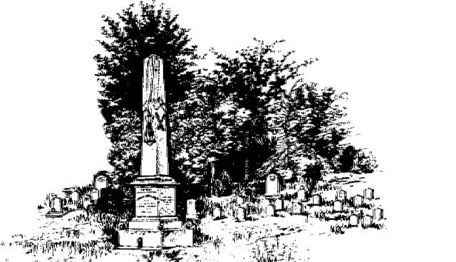
"They Sleep Beneath the Mockingbird",
A Listing of Cemeteries of
Our Confederate Dead
by County
Scott      

Information obtained from Online sources
and MS Grave Registry Microfilms

   Cemetery Name                 GPS Location or Section               Location                   

    Amis Family                                            322947; 892003                       5.2 mi E of Steele or
                                                                                                                            (5 mi NW of Conehatta)
    Antioch                                                                                                         near Steele
    Beach                                                                                                            near Beach
    Eastern (aka Forest)                             322154; 892731                       East Forest
    Cash                                                         323409; 893402                        2.5 mi SE of Lena
    Contrell                                                    S18-T8N-R7E                           Contrell or 3 mi S of Lena
    Coward                                                    323410; 893957                        4 mi SW of Lena
    Damascus                                               323307; 892319                       3.5 mi SW of Sebastopol
    Dennis                                                     322215; 892058                        2 mi NW of Lake
    Faulkner                                                  321957; 893220                        5 mi SW of Forest
    Futchs                                                      322429; 892204                       7 mi NE of Forest
    Hall                                                            S29-T7E-R9E                           2.5 mi NNW of Usrytown
    Harperville                                               322948; 892916                       0.2 mi NNE of Harperville
    High Hill Methodist                               321733; 892611                        5.75 mi SSE of Forest
    Hillsboro Baptist                                    322737; 893036                       Hillsboro
    Hillsboro Methodist                                                                                   near Hillsboro
    Hodge Hill                                                322241; 893925                       2 mi N of Morton
    Homewood Methodist                         321425; 893019                        homewood
    Hopewell Baptist                                   321636; 892659                        1.5 mi SW of Norris
    Hunt                                                          S33-T8N-R9E                           0.75 mi WNW of Piketown
    Independence                                         S15-T5N-R6E                           5 mi S of Morton
    Lake                                                          322105; 891945                       0.6 mi N of Lake
    Lay                                                            322602; 892214                       6 mi WSW of Conehatta
    Liberty                                                      322548; 894243                       4 mi E of Forest
    Lillian                                                                                                            near Hillsboro
    Ludlow                                                     323436; 894200                       0.75 mi NE of Ludlow
    Luther  Chapel                                       321525; 893518                       1 mi SE of Pulaski
    Luther Chapel (aka Lutheran)           321423; 893304                        2.25 mi W of Homewood
    Miles                                                         S22-T6N-R6E                           near Morton
    Morton                                                                                                          near Morton
    Mt. Olive                                                                                                        8 mi SW of Morton
    Noblin                                                       321352; 892943                       1 mi SE of Homewood
    Norris                                                                                                            near Noris
    Old Line Creek                                                                                            8 mi SW of Morton
    Owens                                                      S2-T8N-R9E                             West Sebastapol
    Pea Ridge                                                S4-T8N-R8E                             3.5 mi NE of Midway
    Salem                                                       S18-T7N-R9E                           2 mi ESE of Gum Springs
    Sims                                                          321854; 893643                       4 mi SE of Morton
    Springfield                                               S23-T5N-R6E                           1.25 mi S of Independence
    Sulphur Springs                                     323059; 891949                       1.5 mi ENE of Piketown
    Summers                                                 322805; 892226                       3 mi ESE of Gum Springs
    White Family                                           S6-T8N-R7E                             1.5 mi NNE of Contrell                                                                           
   
                                                                                                             Index