 | ||||||
"They Sleep Beneath the Mockingbird",
A Listing of Cemeteries of
Our Confederate Dead
by County
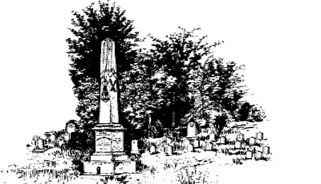
Tallahatchie
Information obtained from Online sources
and MS Grave Registry Microfilms
Cemetery Name GPS Location or Section Location
Ashland 335109; 895853 1 mi E of Cascilla
Banks Family near Ashland
Bethel 340742; 900137 1 mi W of Teasdale
Bethel 340742; 900136 1 mi NNW of Teasdale
Bonnette Lake S23-T22-R1W 2.25 mi E of Philip
Brooklyn S7-T24-R1W 0.75 mi N of Webb
Dogan 3 mi E of Charleston
Ellett S8-T23-R3E 2 mi E of Cascilla
Enid 340738; 895634 0.9 mi NNW of Enid
Friendship (aka Clark) 335735; 902410 2 mi WSW of Sumner
Friendship S36-T26-R2E 5.5 mi N of Charlseton
Henson 1.5 mi W of Cascilla
Horn (Pvt) S10-T26-R2E 3.5 mi NW of Teasdale
Midway S12-T24-R1W 5.5 mi E of Webb
Mitchell S14-T24-R2E 4.25 mi S of Charleston
Murphy S14-T24-R2E 2.5 mi NE of Paynes
Mt. Pisgah 340536; 895828 5 mi NW of Oakland
New Hope 335557; 895926 6.5 mi SE of Charleston
New Masonic S23-T25-R2E 1 mi N of Charleston
New Spring Hill 3 mi SW of Oakland
New Town 340106; 900245 1 mi NNE of Charleston
Oak Hill 340738; 895634 0.75 mi N of Enid
Old Masonic 340037; 900327 Charleston
Old Spring Hill S14-T25-R3E 6 mi NE of Charleston
Paul (aka St. Paul) 335434; 895734 0.4 mi WSW of Paul
Peterson S13-T25-R2E 4.5 mi NE of Tutwiler
Pine Hill 340416; 895919 6 mi NE of Charleston
Poplar Springs 335401; 900337 7.5 mi S of Charleston
Rice near Paynes
Rocky Branch 340033; 895938 3.5 mi E of Charleston
Ross S32-T24-R3E 7 mi SE of Charleston
Rowland 335859; 900222 2 mi SE of Charleston
Sandy Creek 340606; 895928 3 mi SW of Enid
Smith 335221; 895639 1 mi E of Rosebloom
Spring Hill 340155; 895712 2 mi SW of Oakland
Spring Hill 340205; 895637 2.2 mi SW of Oakland
Sycamour S11-T22-R1E 2 mi NE of Philip
Townes S27-T22-R1W 5.75 mi S of Glendora
Willington S28-T24-R3E 4.75 mi E of Paynes
Womble-Slaughter 340235; 895742 3 mi SW of Oakland
Woodland 335731; 902135 1 mi SE of Sumner